


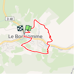


11,9 km | 16,6 km-effort


Utilisateur GUIDE


Application GPS de randonnée GRATUITE
 SityTrail
IGN / Instituts géographiques
SityTrail World
Le monde est à vous
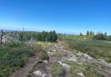
Randonnée Marche de 3 km à découvrir à Grand Est, Haut-Rhin, Le Bonhomme. Cette randonnée est proposée par Desrumaux.
Détails de la rando sur TraceGPS.com http://www.tracegps.com/fr/parcours/circuit11228.htm

Marche

Marche

V.T.T.
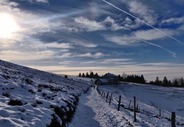
Marche
Marche
Marche
Marche

A pied
Marche